The image is the beginning. The intelligence is what comes next.
AirQtel brings aerial observation, data processing and AI-assisted interpretation into one assessment workflow. Looking Glass connects what you can see with the context you need: asset records, earlier observations and the question your team is trying to answer.
Find the changes that deserve attention. Understand the uncertainty. Give the right people a clear next step.
Our AI workflow is designed to connect visual observations with operational context. The result is a finding your team can question, verify and use.
LOOKING GLASS / ANALYSIS DESIGN
One observation. Multiple layers of understanding.
VISUAL EVIDENCE◎
HISTORICAL CONTEXT⌁
OPERATIONAL PRIORITY↗
Recognize what is in view
Computer vision helps surface visible assets, land-cover patterns and candidate anomalies. Analysts check these against image quality, coverage and the question being asked.
OBJECTS / PATTERNS / ANOMALIES
Separate change from noise
Compare aligned observations while accounting for viewpoint, season, shadows and capture conditions. A difference in pixels is a lead to investigate, not automatic proof of damage.
TEMPORAL COMPARISON / QUALITY CHECKS
Reason across the full context
Bring imagery together with inspection histories, asset registers, weather records and operating requirements. AI helps reconcile conflicting evidence and identify the information still missing.
MULTIMODAL ANALYSIS / EVIDENCE LINKS
Prioritize the next decision
Consider the consequence of a finding, the asset's importance and the strength of the evidence. Draft a review queue, targeted inspection brief or follow-up task for the responsible team.
RISK TRIAGE / HUMAN APPROVAL
Keep the assessment traceable
Connect the observation, supporting sources, reviewer decision and recommended action in one assessment record. Revisit the conclusion when new evidence arrives.
SOURCE RECORDS / REVIEW HISTORY
+ WHERE PERSPECTIVE PAYS OFF
Built around your ground truth.
Start with the operational question, then design the observation and analysis around it.
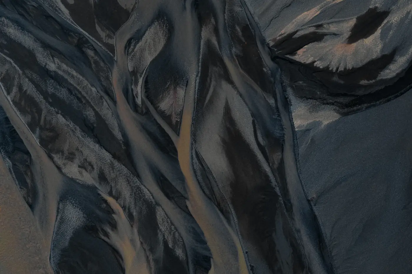
COMMERCIAL ASSET ASSESSMENT
THE QUESTION
What changed across the assets we depend on?
Build a consistent visual record of large sites and corridors. Identify candidate changes around access routes, structures and asset boundaries, then focus the next inspection.
THE DELIVERABLE
A georeferenced review map, prioritized findings and an inspection handoff.
+ FROM QUESTION TO DELIVERABLE
A complete service. Not another image folder.
An assessment combines collection planning, imagery processing and interpretation. Scope, acquisition options and delivery timing are agreed for each project.
01DEFINE
The decision first.
Set the area of interest, assets, baseline and acceptance criteria. Identify who will use the result and what they need to decide.
02OBSERVE
The right view.
Plan suitable aerial collection or supplied imagery. Confirm permissions, capture conditions and the sensor data the task requires.
03INTERPRET
The evidence connected.
Process the imagery, surface candidate findings and compare relevant context. Keep uncertainty visible through analyst review.
04DELIVER
The next step, clear.
Deliver annotated findings, supporting sources and recommended follow-up in a format your operating team can use.
YOUR ASSESSMENT PACKAGEAnnotated imageryReview mapEvidence-linked briefAction registerGIS-ready exports*
*Export formats, system connections and acquisition specifications are agreed in the project scope.
+ RESPONSIBLE BY DESIGN
Clear evidence. Visible uncertainty. Human judgment.
AI should make a complex scene easier to understand, without making the conclusion harder to question.
◎
Evidence before assertion
Distinguish what the image shows from what the analysis infers. Keep source dates, coverage and known limitations with the finding.
⌁
Review before escalation
High-consequence findings need qualified review. Imagery alone cannot certify structural safety or establish the cause of damage.
⊞
Purpose-limited observation
Define the authorized area and collection purpose. Focus on assets and environmental conditions, not personal identification.
↳
Data controls agreed up front
Define access, retention, transfer and deletion requirements in the engagement. Confirm controls before sensitive data is shared.
+ WORKING WITH AIRQTEL
One question today. A clearer picture over time.
Start with a focused assessment or plan recurring observations. The service follows the decision cadence of your business.
FOCUSED ASSESSMENT
A specific site. A defined question.
For a baseline, condition review or event-driven investigation. Agree the evidence required and a clear set of deliverables.
Defined area and assessment objective
Acquisition and analysis scope
Findings and review handoff
RECURRING INTELLIGENCE
Repeated observations. A useful operating record.
For portfolios and landscapes that change over time. Establish a baseline, compare subsequent observations and track follow-up.
Agreed revisit and reporting cadence
Consistent comparison methodology
Trend review and action history
Project-based proposals in USD. Scope depends on geography, permissions, source data, analysis requirements and review needs.
+ FIELD NOTES
A sharper understanding.
PERSPECTIVES ON AERIAL AI
+ PRACTICAL QUESTIONS
Before we take a closer look.
What does AirQtel deliver?
An engagement can combine aerial acquisition planning, imagery processing and AI-assisted analysis. The proposed output is an assessment package with annotated observations, supporting evidence and recommendations for review. The exact scope is agreed before work begins.
Is this a drone hardware business?
The focus is the observation and intelligence service rather than a standalone aircraft or camera. Platform selection depends on the area, permissions, capture requirements and available collection partners.
What role does AI play?
The intended workflow uses computer vision to surface candidate findings and contextual reasoning to connect them with records and prior observations. AI-assisted conclusions remain reviewable; an analyst checks consequential findings before they become operational recommendations.
Can you use our existing imagery and records?
Existing imagery, asset registers and inspection records can be considered during scoping. Suitability depends on permissions, timestamps, georeferencing, resolution and completeness. Integration and export formats must be confirmed for the project.
Is every assessment real time or all weather?
No universal guarantee applies. Delivery latency and collection suitability depend on the platform, sensor, transmission environment, weather and permissions. Thermal or multispectral analysis requires suitable calibrated source data; an ordinary photograph cannot substitute for it.
How do you handle sensitive data?
Access, retention, processing location and transfer requirements should be agreed before data exchange. Please do not include confidential documents or precise sensitive-site details in a website project brief.
YOUR NEXT PERSPECTIVE
What do you need to see more clearly?
Start with a location, an operational question and the decision you need to make.

 COMMERCIAL ASSET ASSESSMENT