Technical Notes
Pixel size is not location accuracy
Before using a crisp image to judge a boundary, find out how well the image and the boundary are located.
Reference from 2025: USGS: Spatial Resolution Digital Imagery Guideline
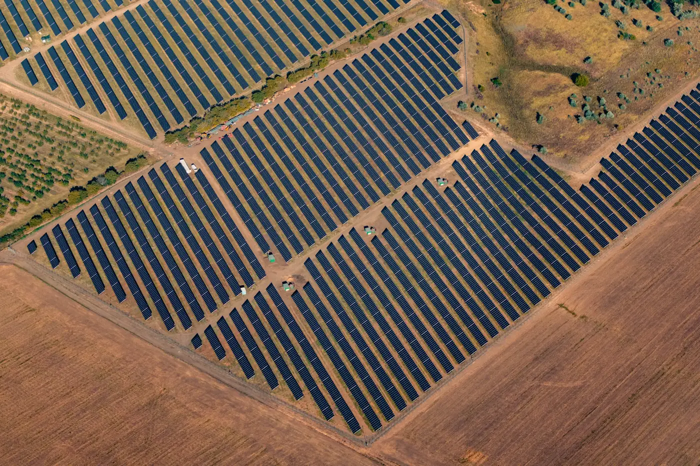
Separate recognition from measurement
Ground sampling distance is the nominal spacing between ground samples. Positional accuracy describes how closely coordinates agree with independent references. A smaller sample spacing does not guarantee that an analyst will recognize a feature or place it correctly.
Motion, contrast, geometry and optics affect visibility. Coordinate errors can still matter when a feature is easy to see.
Write two acceptance questions
What should an analyst be able to recognize? How far can the mapped feature be from its verified position before the decision changes? Write both questions before choosing a capture specification. For recognition, test a representative image at native scale. For positioning, use independently surveyed checks and report the deviations rather than inferring accuracy from pixel spacing.
Example: is the object inside the easement?
Suppose an obstruction is clear in the image but appears near an easement line. First check the reference systems for the imagery and the easement. Then ask how uncertain each location is. If the uncertainty spans both sides of the line, leave the location unresolved and request field verification. A sharp outline does not settle the question.
Beware the smoother export
Resampling to a finer grid may smooth edges. It does not restore ground detail the sensor did not record. Elevated objects can also behave differently from stable ground after correction. A delivery note should report sampling, usable visual detail and positional uncertainty separately.
Practical checklist
- Name the feature to recognize and the boundary or location to measure.
- Inspect representative captures for contrast, blur and occlusion.
- Ask for independent position checks and the uncertainty around the decision boundary.